

Industry Pack · Land & Cadastral
Land & Cadastral
From complex historical records to trustworthy current-state data.
Discuss a digitization challengeLand administration
Every parcel gets one complete record, traced back to its sources.


Land digitization
Decades of cadastral records, maps and change filings become current-state data.
Sample plot
One current plot can carry many overlapping file sets from its history.
Many histories for one plot
One plot, recorded again and again.
Issued
One certificate
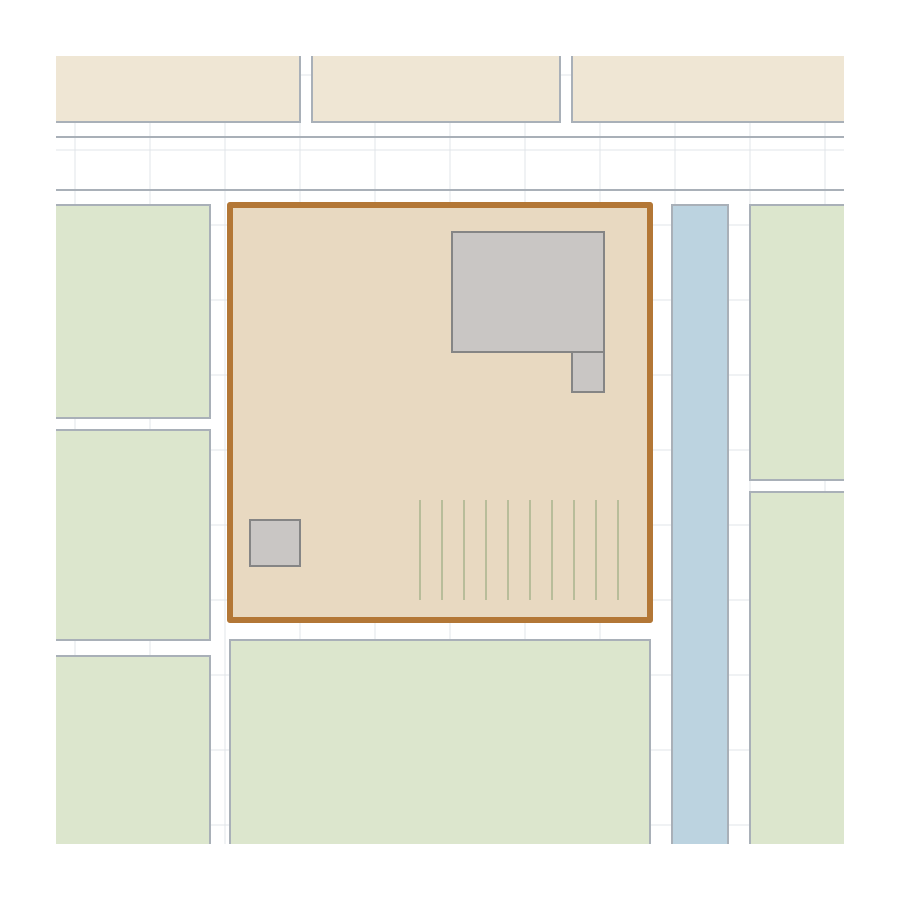
The plot starts with a land-use right certificate and the issuance file behind it.
Split
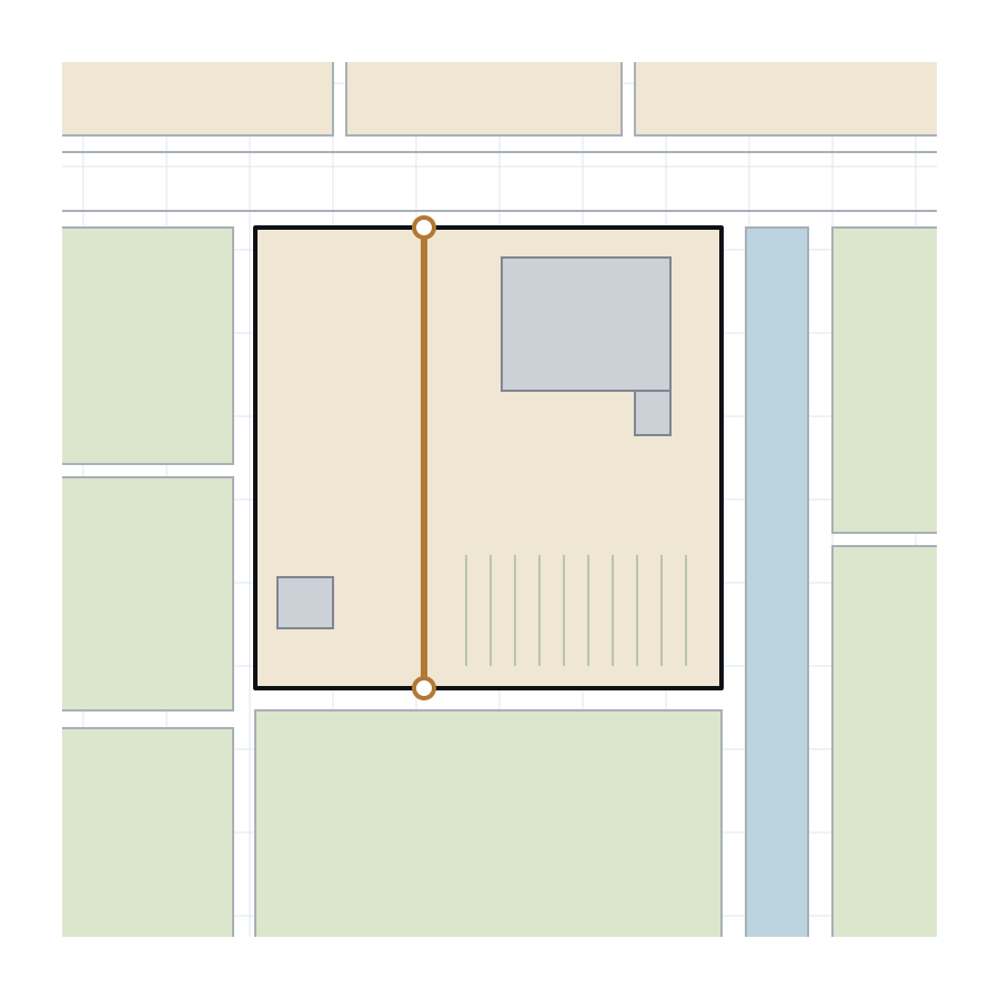
One plot becomes two
A split adds new records. The old ones stay in the file.
Transfer
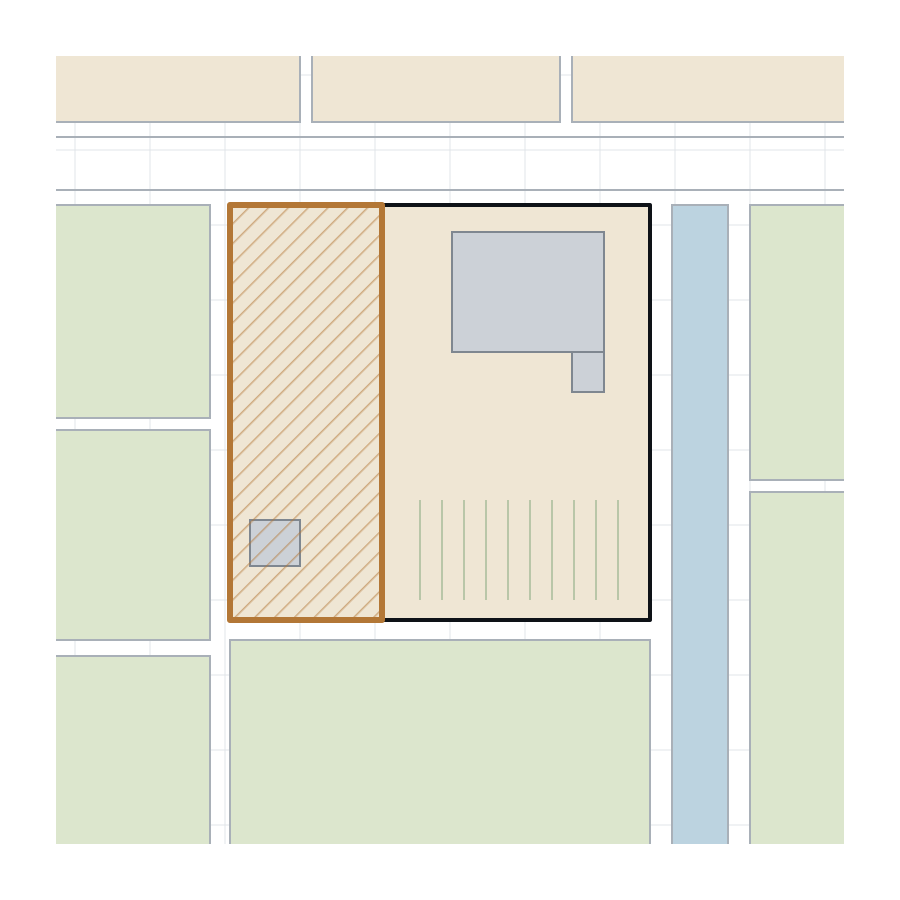
One half changes hands
Transfers and mortgages are recorded across decades, with changes of owner.
Merge
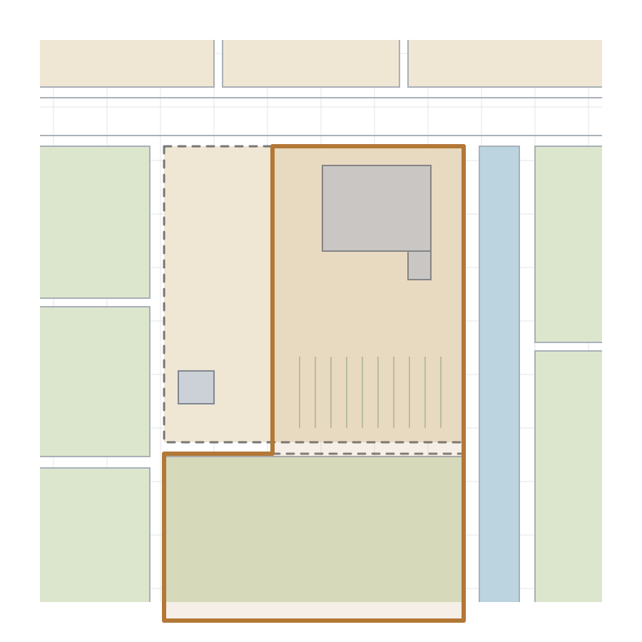
Two plots become one
Each change adds papers from another period, form and handwriting style.
Today
Which record is current?
Duplicates, superseded records and overlapping file sets. Sources must be compared.
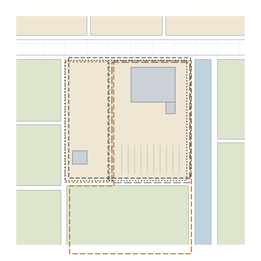
Source reconciliation
Every source, compared into one current record.
Compare
Chain the changes
Chain the changes over time, check against maps and resolve conflicts between sources.
Link
Every value has a source
Each value links back to the evidence it came from.
Status
Pass, Review or Source issue
Every record gets one clear status.
Hand over
Ready for the land database
Error and exception reports, and a data package in the agreed format.
Current record
- Certificates
- Map
- Free-form notes
- Scans
- Old tables
- Change records

Where the value lives
Many layers of history become one current state. Each value traces to its source and can be accepted.
Start with one representative dataset
Agree the fields, the rules for missing or conflicting sources, and what counts as done. Run a benchmark before scaling.
Sort what comes in
Receive the scanned records and sort them by document type and legal stage.
Read every field
Extract parcel, holder, area and change details, with a source for every value.
Rebuild today's state
Chain the changes over time, check against maps and resolve conflicts.
Accept and hand over
Measure the results on a checked sample, then hand over the data in the agreed format.
Validated internally on real data. Customer and project names stay private until publication is approved.
Next industry pack
Customs
From declarations and shipping documents to structured, traceable customs data.